Fieldwork
Field observations are an essential part of my research. I have conducted fieldwork in Southern Norway, Svalbard, Greenland, Alaska and Antarctica.
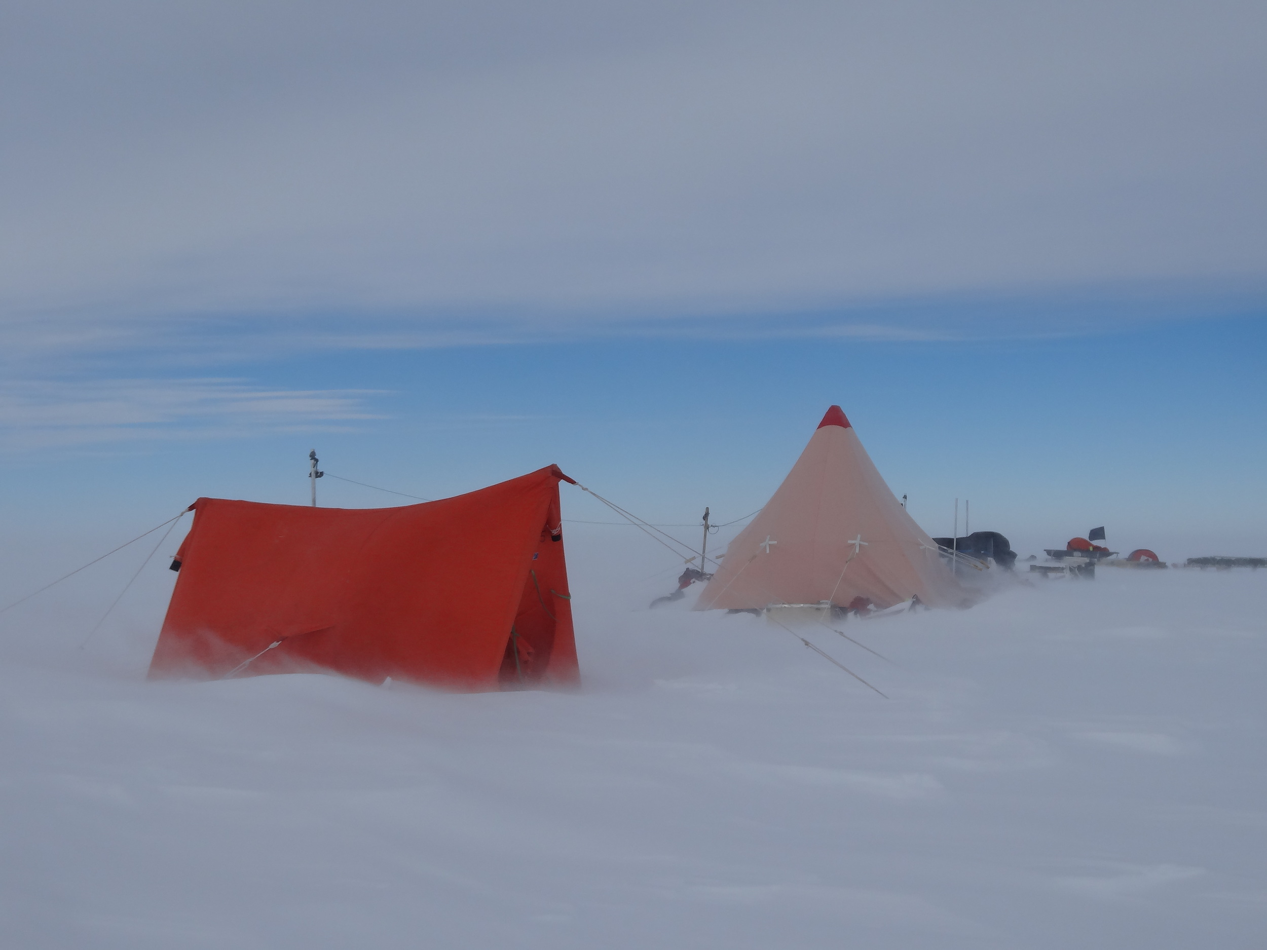
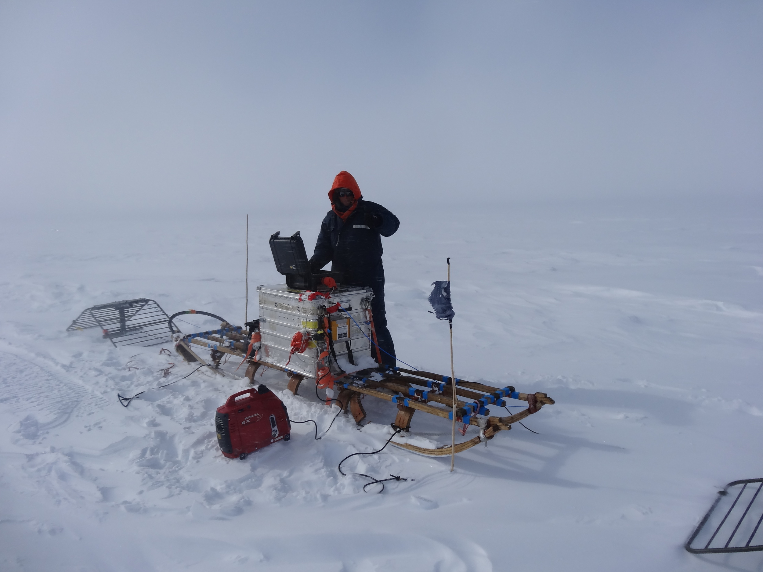
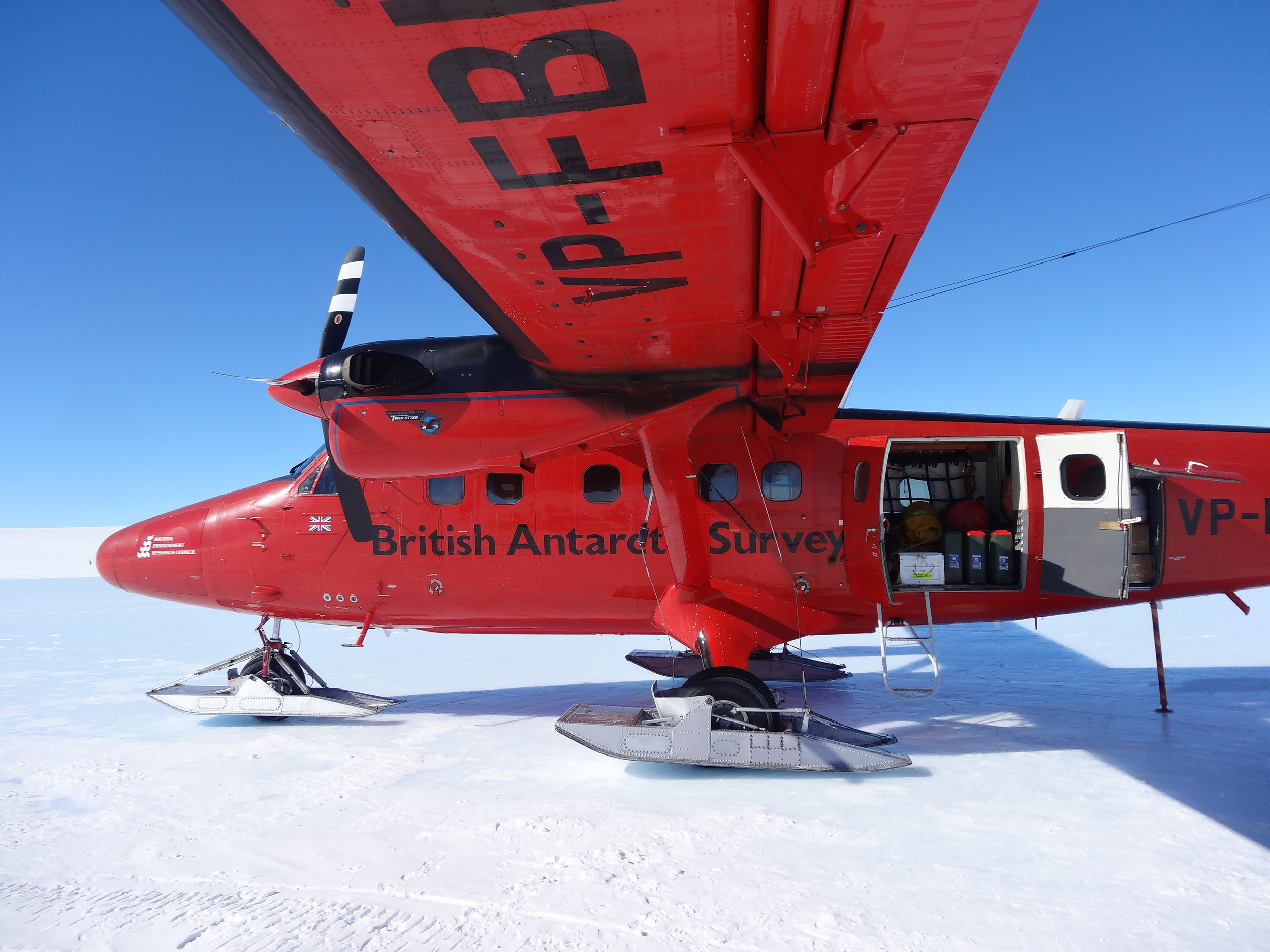
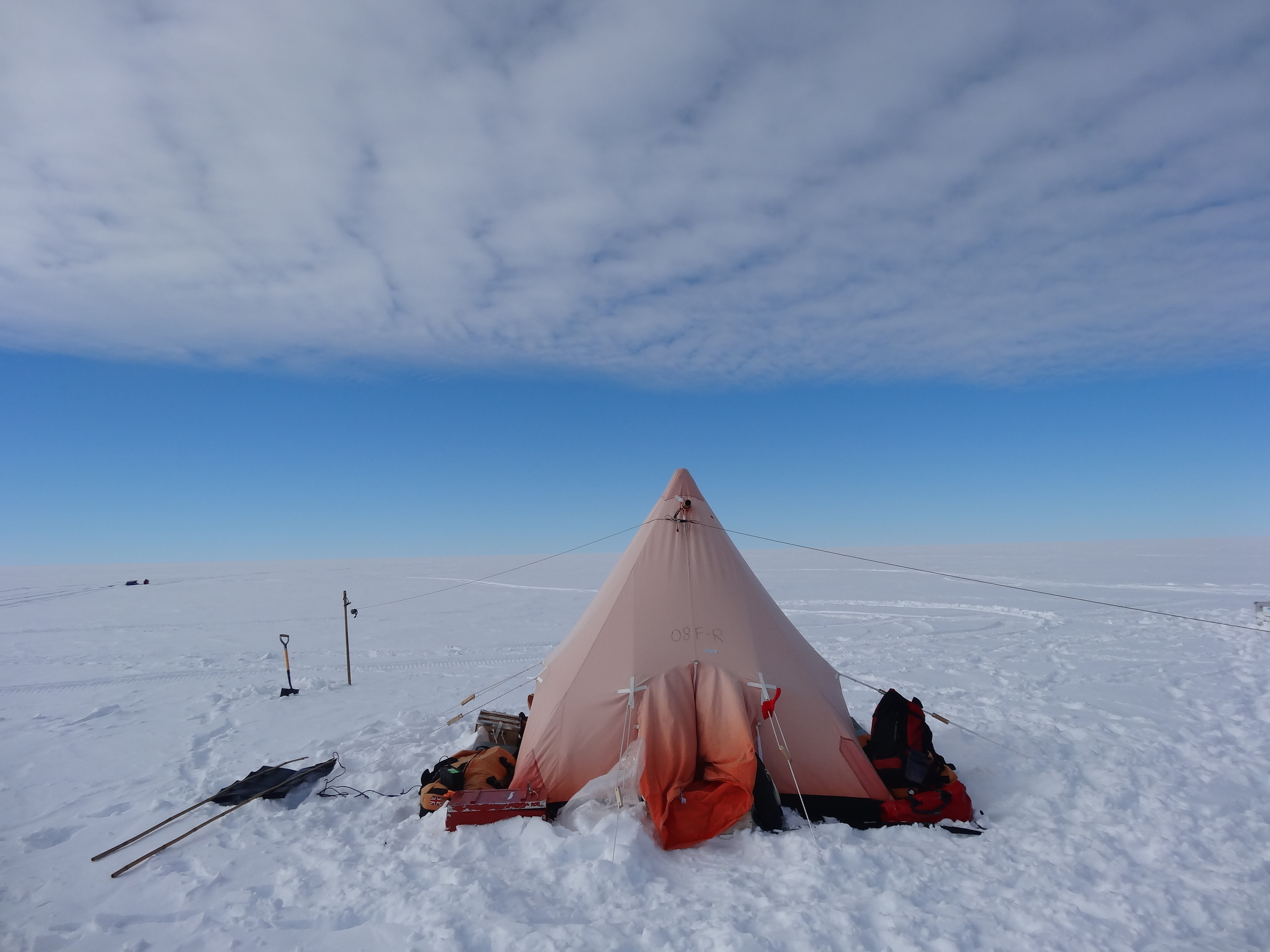
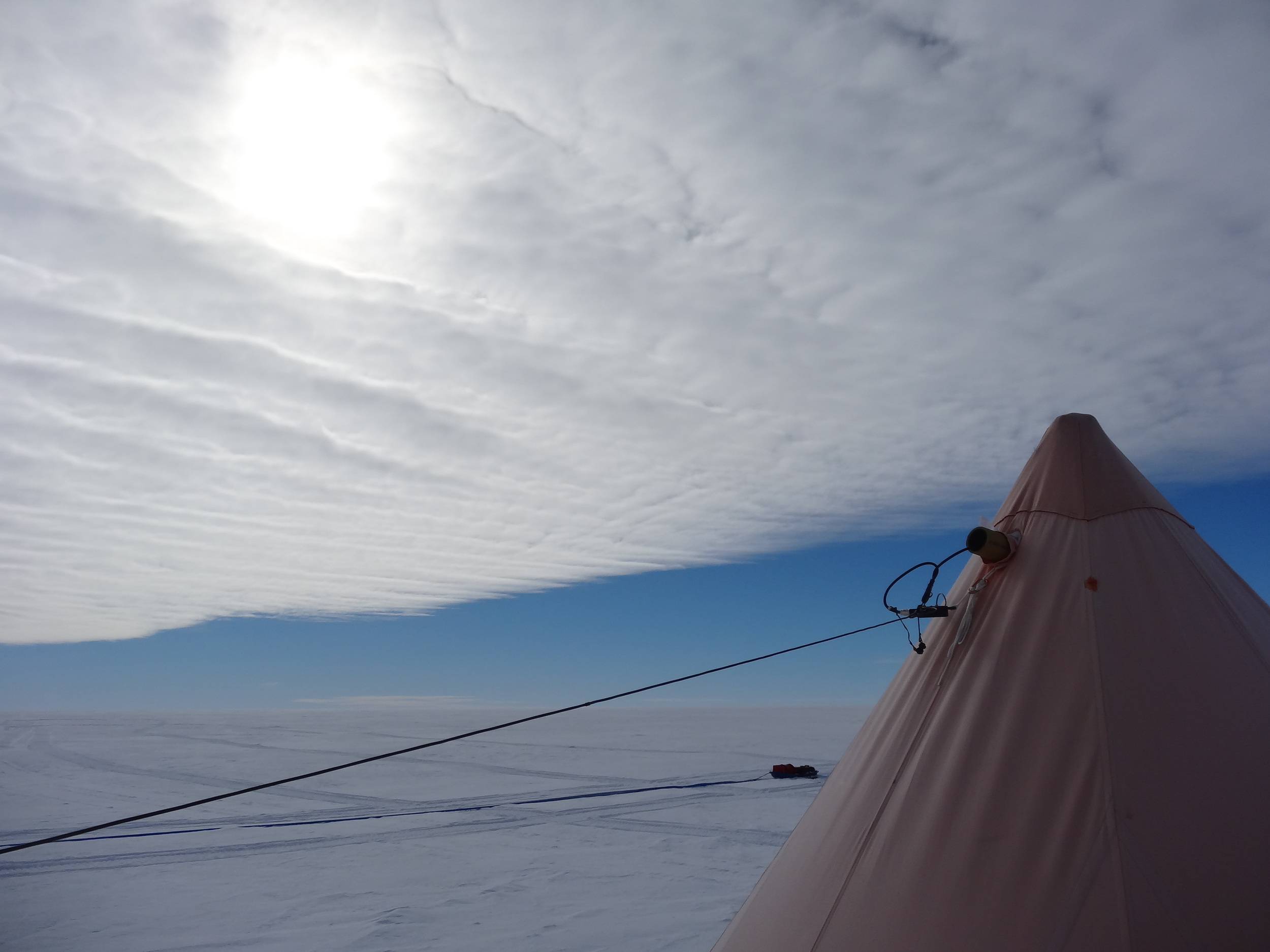
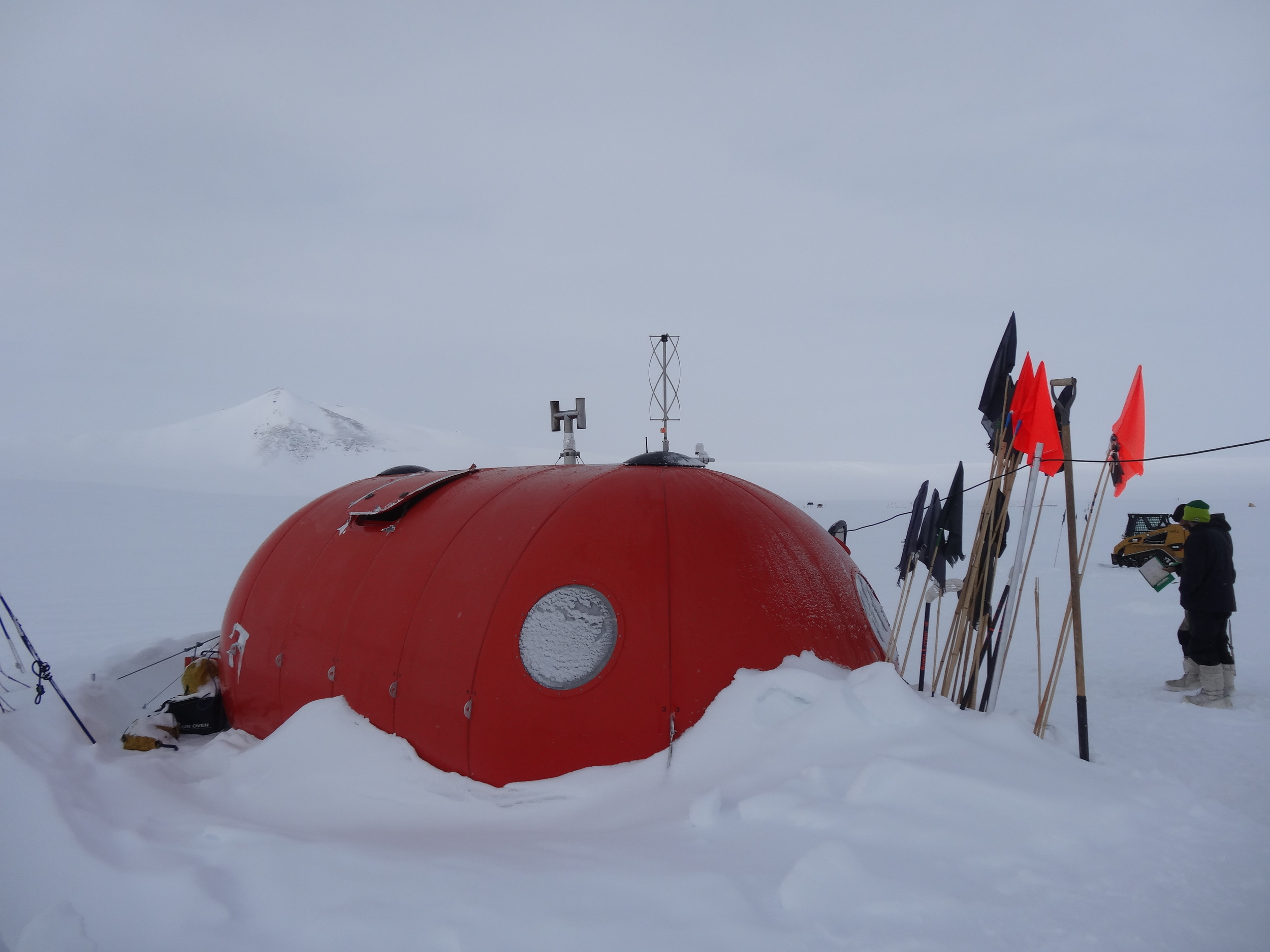
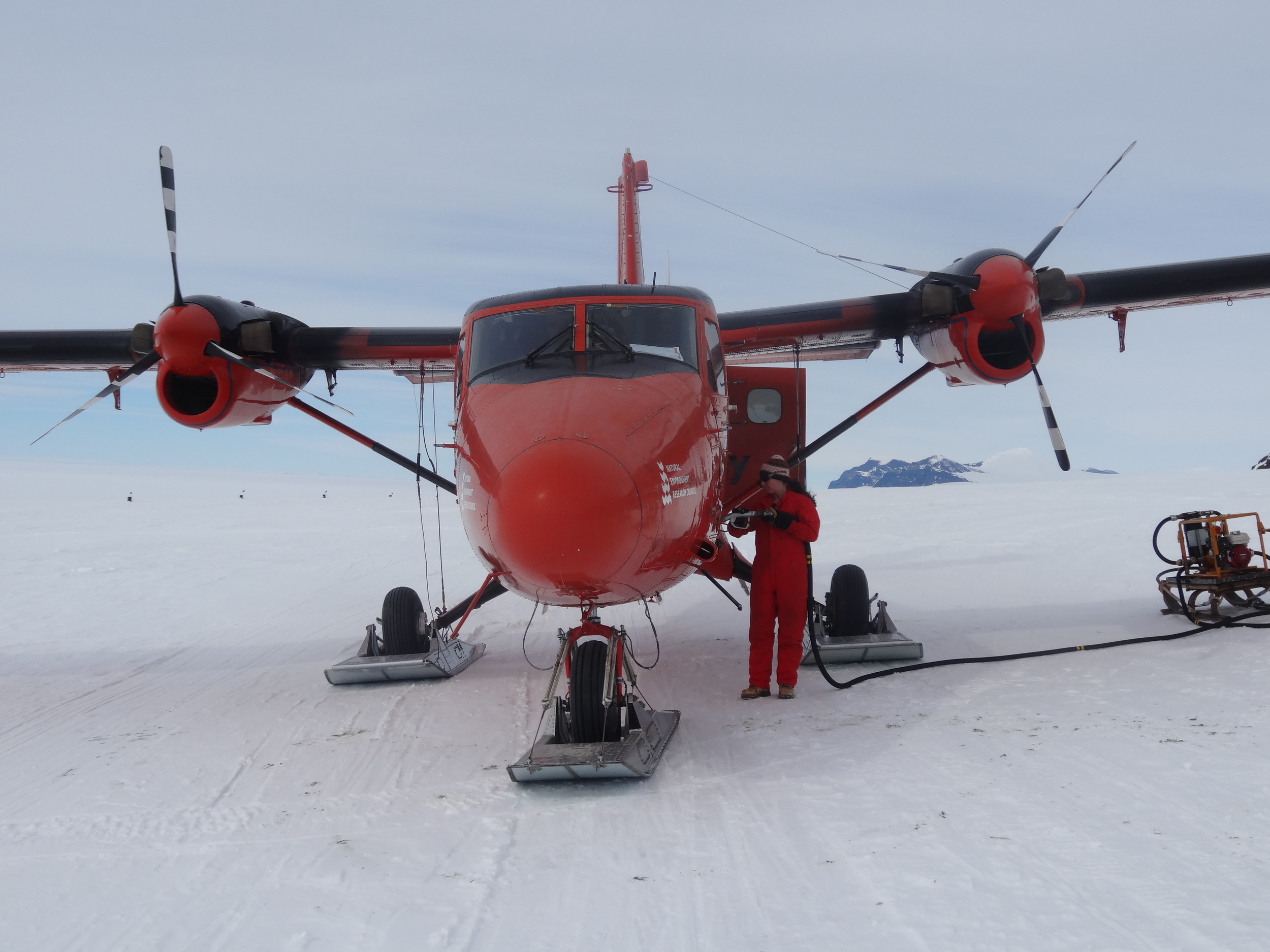
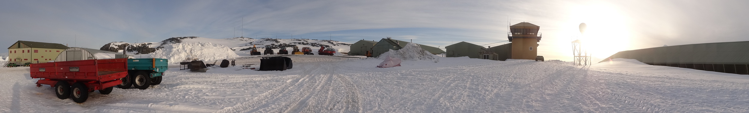
Antarctica, 2013-14, 2014-15
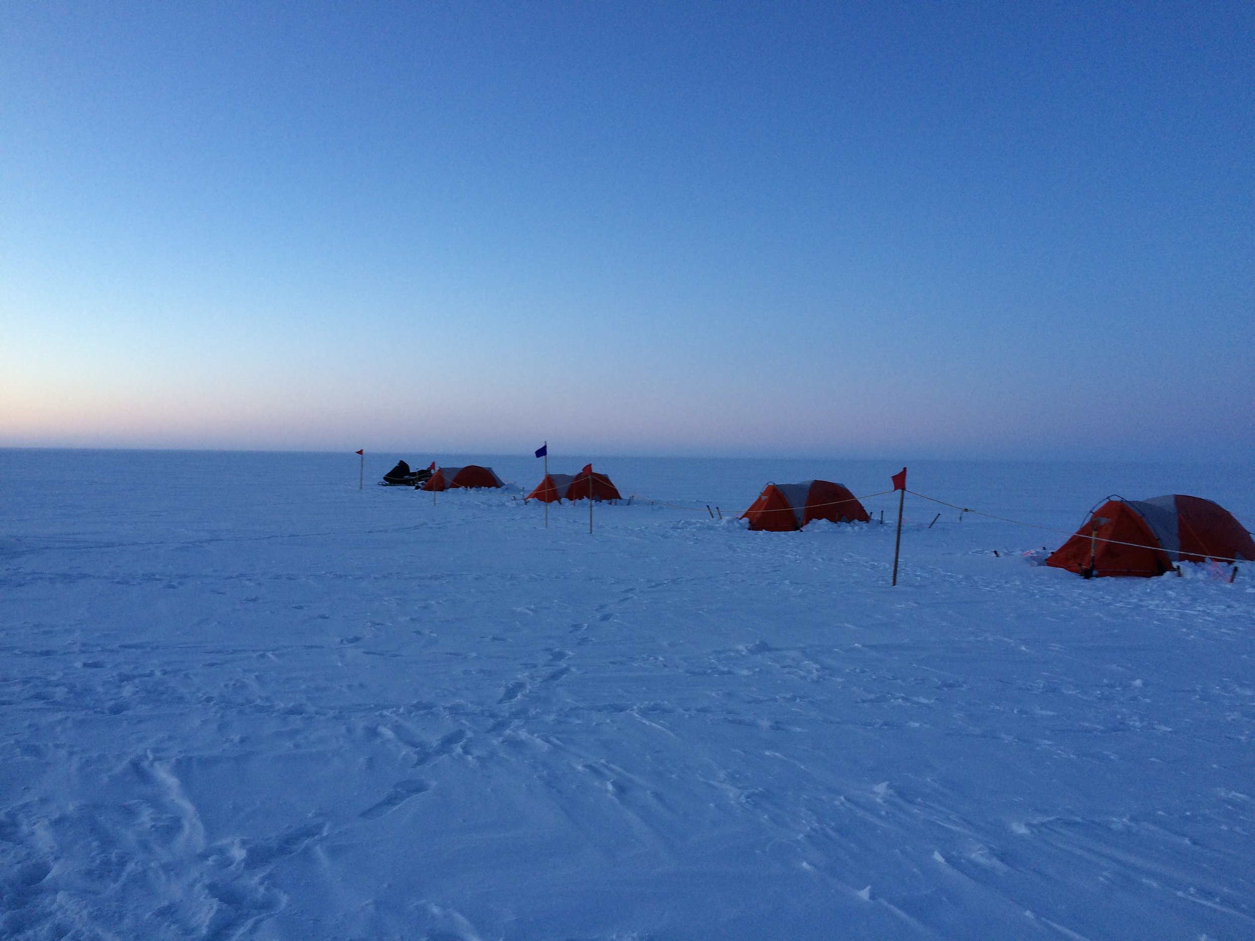
During two austral summers I spent two months traveling across the West Antarctic Ice Sheet in a team of two (a mountaineer and I), conducting measurements of the ice flow using GPS and ice-penetrating radar.


During my first Antarctic field season, my field safety expert, Iain Rudkin, was also an amazing photographer. See some of Iain's photography from Antarctica and elsewhere here. Even after 12+ hours on a snow mobile, Iain somehow found the energy to get out of the tent and capture whatever nice clouds (not scenery as we were in the flat-white) that were outside. When we got back I put his timelapse photography together with some videos of my own and arranged them over a composition by Steve Massey, written while at the British research base, Rothera:
Video and time-lapse from a skidoo traverse of the Ronne Ice Shelf conducted by the British Antarctic Survey during the 2013/14 Austral Summer. Time-lapse by Iain Rudkin. Music is "Jenny Island" - an unfinished composition by Steve Massey freezabox.com. Video footage and compilation editing by Jonny Kingslake - a scientist at the British Antarctic Survey.
Greenland, 2017
In April/May 2017 I spent four weeks traversing across the Greenland Ice Sheet as part of an NSF-funded project to investigate refreezing of meltwater in snow and firn. The project is led by Asa Rennermalm, Regine Hock and Marco Tedesco. More details soon. Meanwhile, here are some photos and a movie showing some pretty windy conditions that we encountered on the ice sheet.

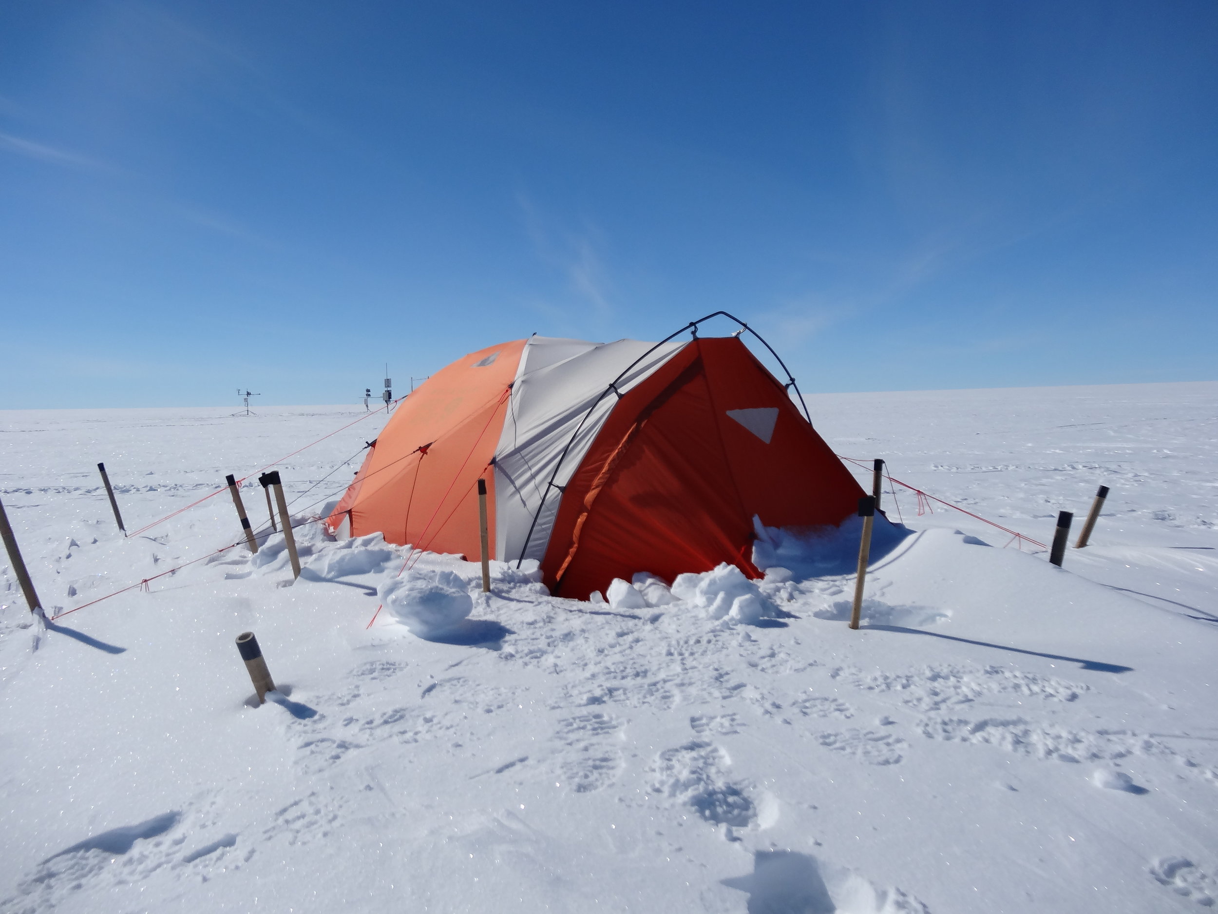

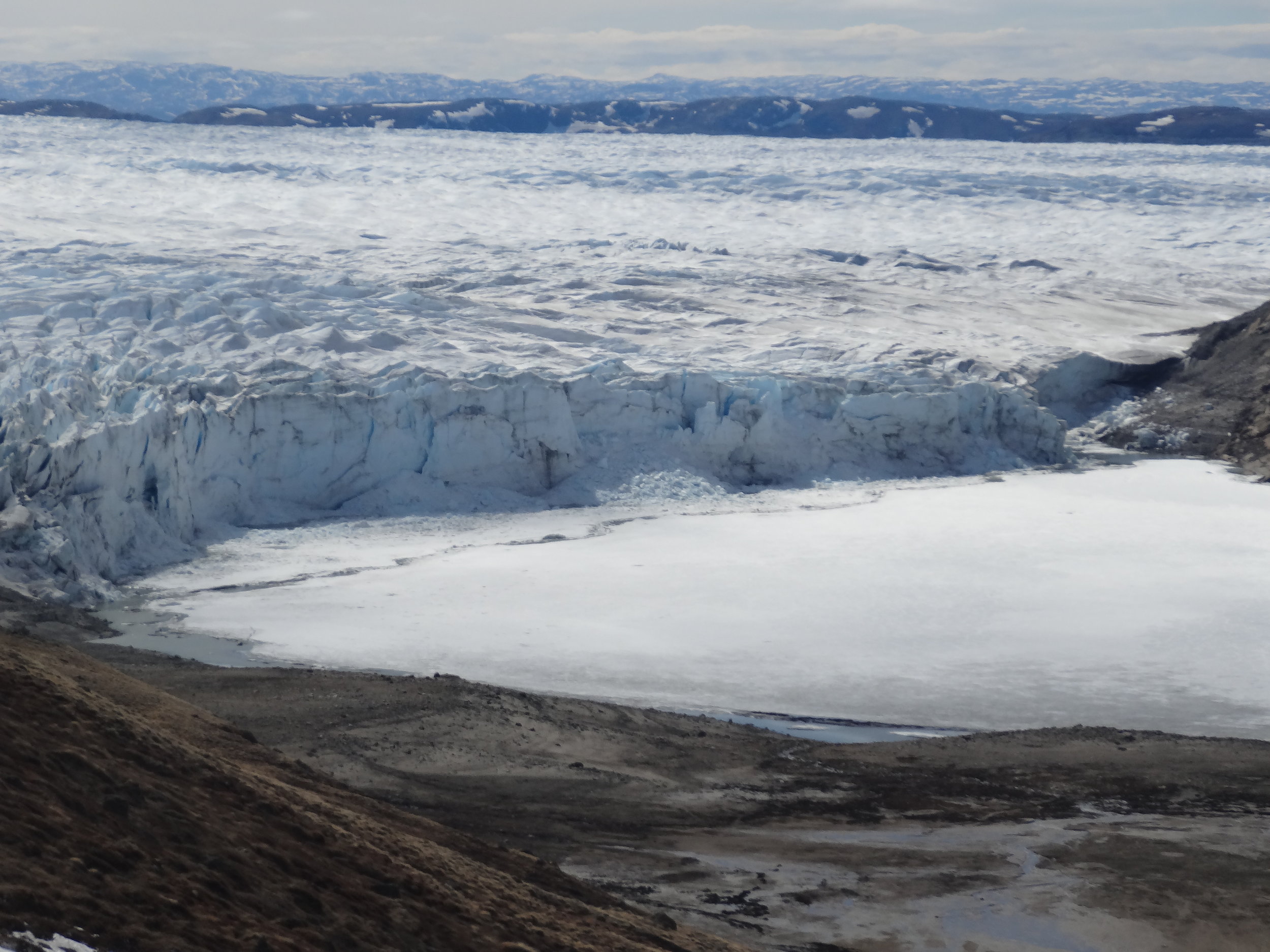
Windy condition on the Greenland Ice Sheet, May, 2017,
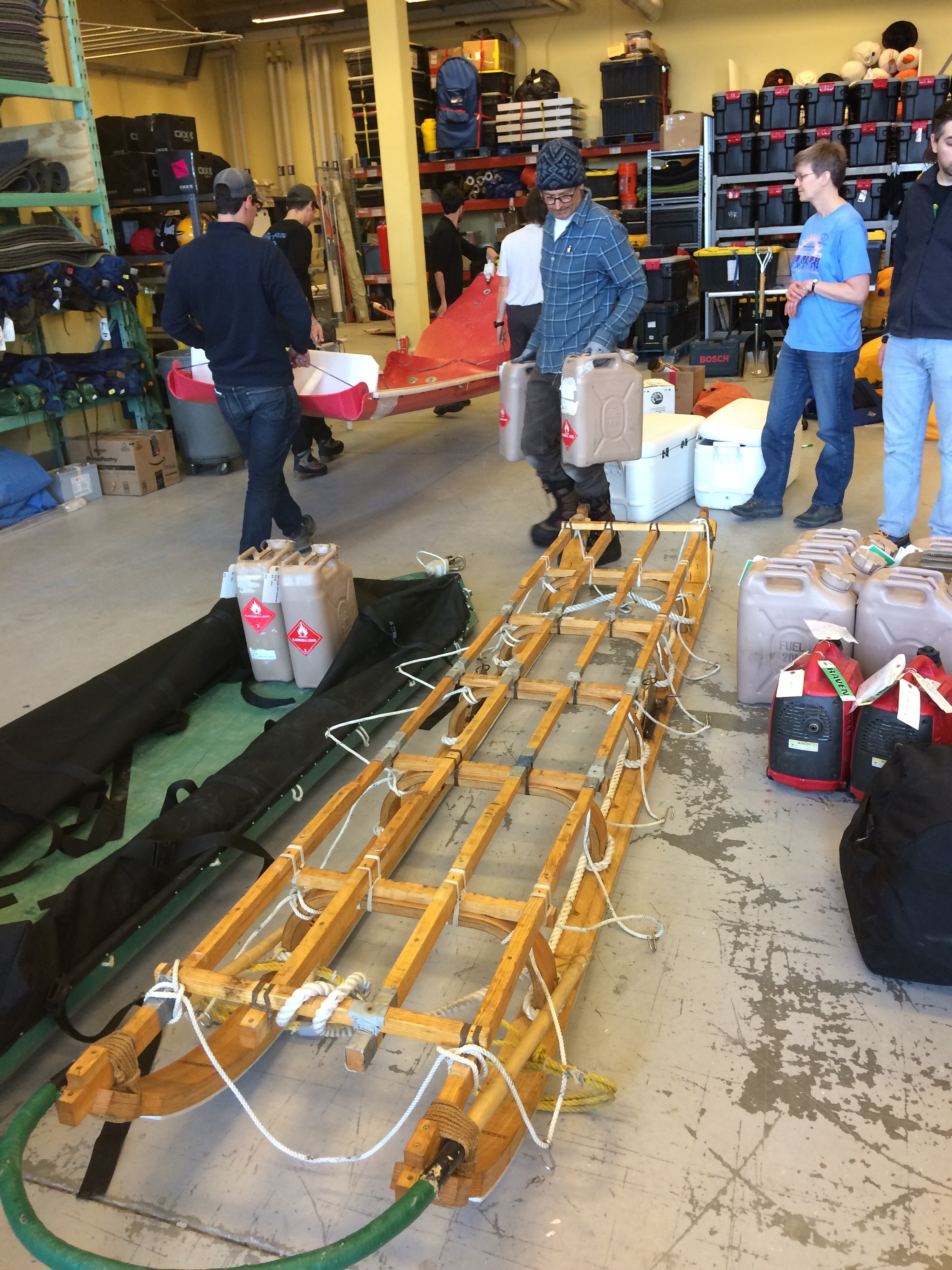
Alaska, 2018
In Summer 2018, funded by a Lenfest Junior Faculty Development Grant, Elizabeth Case and I conducted 2 weeks of fieldwork on the Juneau Icefield. This was in collaboration with the Juneau Icefield Research Program, who run a yearly six-week ski traverse of the ice field. We took a helicopter flight into the program’s camp 18, reproduced here as a 3D model recreated by Martin Pratt from video footage we obtained using a DJI drone.


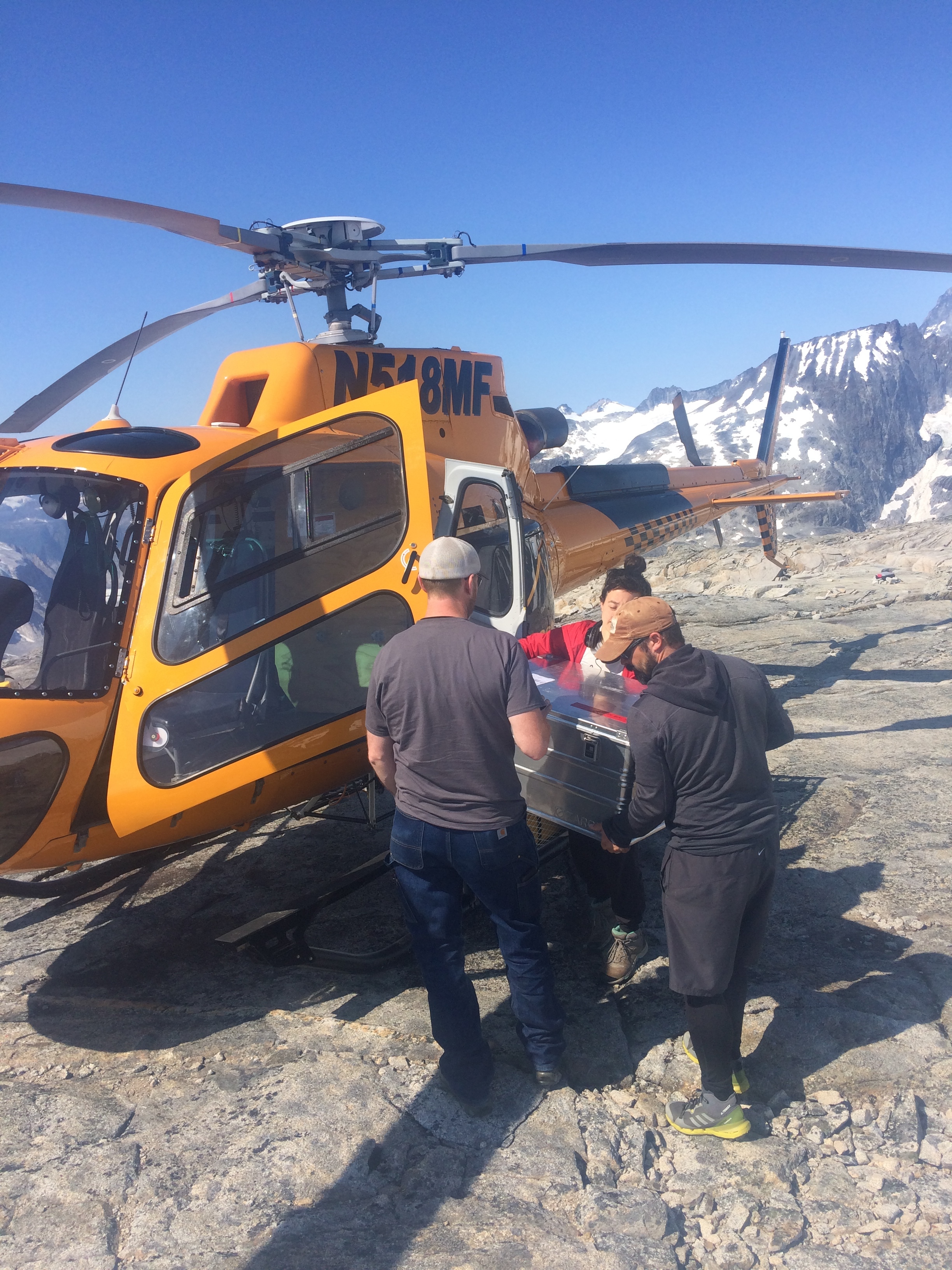
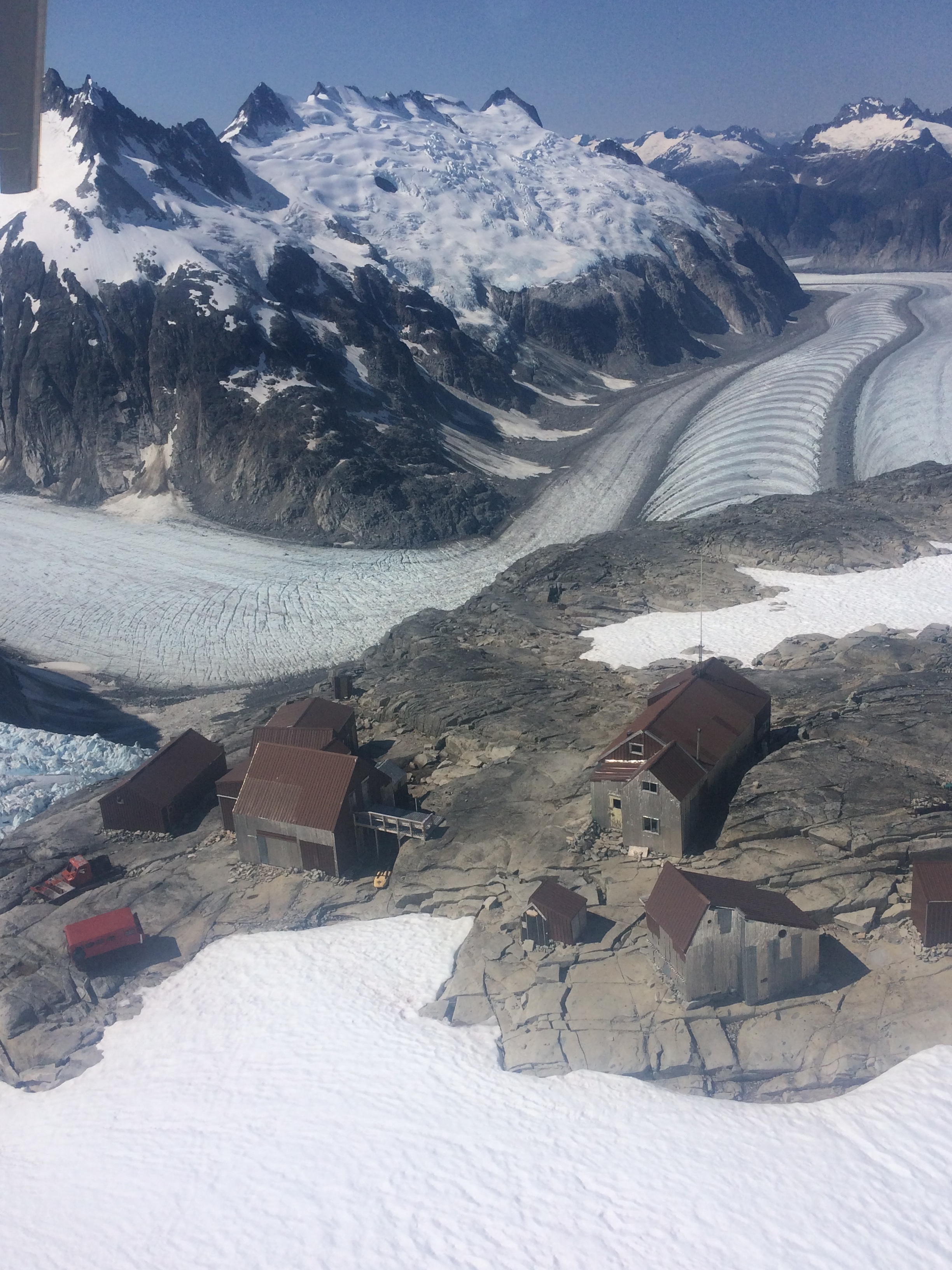
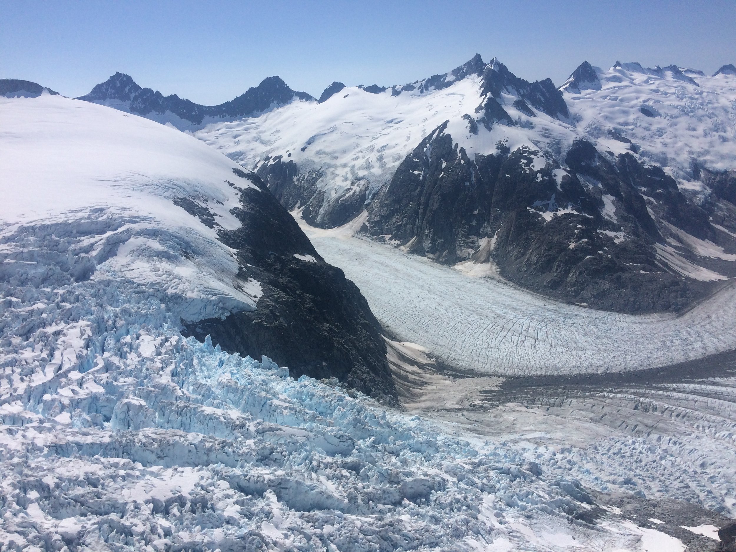


View from the helicopter on the way to camp 18, Juneau Ice Field
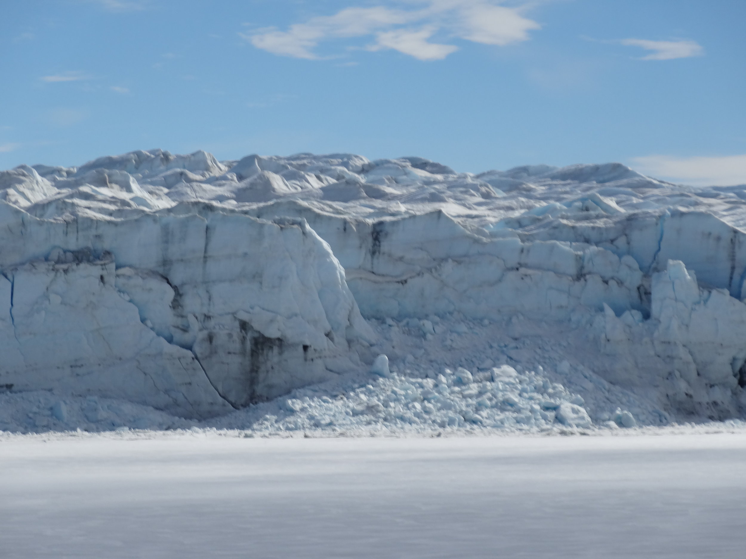
Camp 18 is on a nunatak surrounded by the most amazing ice falls which produce multiple sets of ogives, captured here from a drone in 4k:
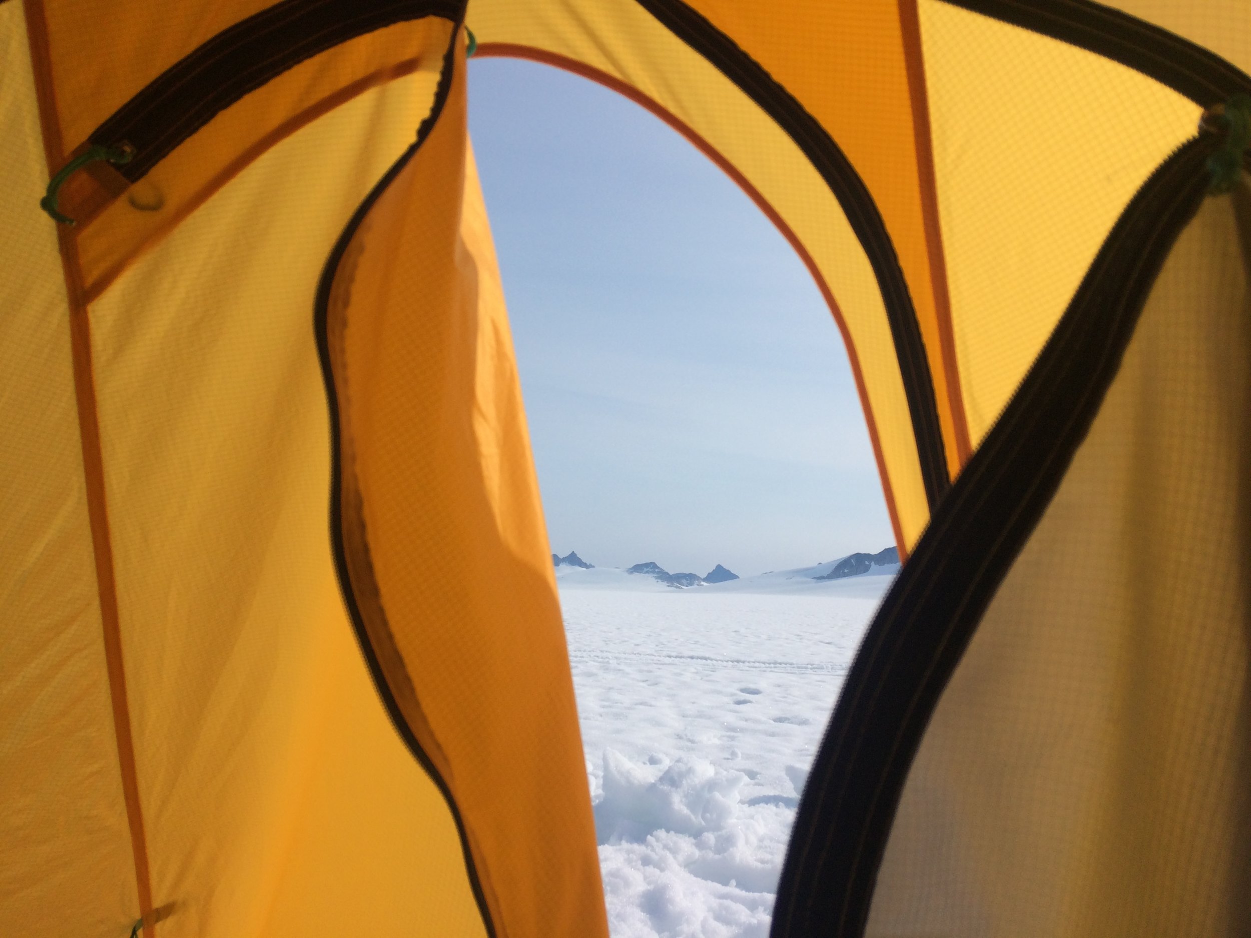
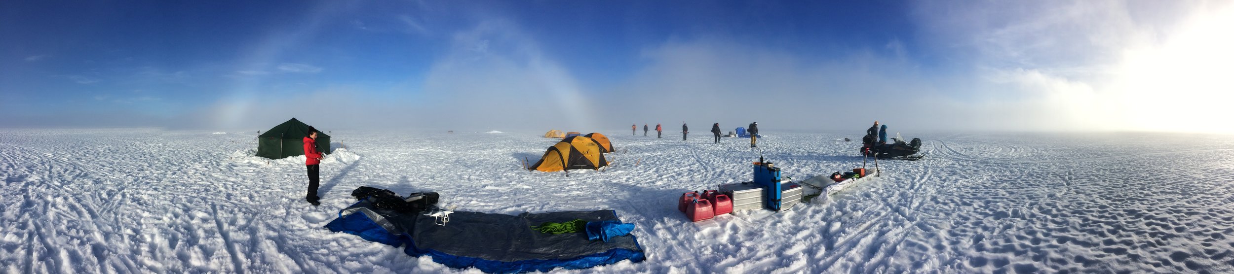
From camp 18 we moved up to the ice divide between ice flowing north into Canada and ice flowing south in the US. We used a phase-sensitive radar to conduct a grid of point, aiming to measure vertical englacial strain rates (including firn compaction) and we used a shallow coring system to extract around 80 m of ice core from 6 locations around the ice divide.
We put some of the drone footage together in a first cut here:
Juneau Ice Field, Summer 2018.